


Thüringen-Atlas der Reichsarbeitsgemeinschaft für Raumforschung
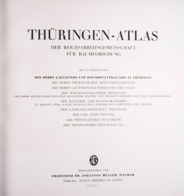
Weimar: Justus Perthes, [1942]. First edition. Hardcover. Oblong folio. [8]pp (text), 82 leaves (maps). 3/4 black calf over blue cloth. Published in the midst of the Second World War, this remarkable and scarce work gives in 82 stunning colored maps (many folding) a complete survey on the population, industry, metallurgy, agriculture, railroad, manufactures (including armaments), climate, geology, hydrology, etc.. of the Gau of Thuringia (Central Germany). Text and captions in German. Binding and interior in overall very good condition. vg. Item #35033
Price: $1,750.00
See all items in
Travel, Geography
See all items by Johannes Müller